
The Fox’s site map
The Civic Fox Field Map
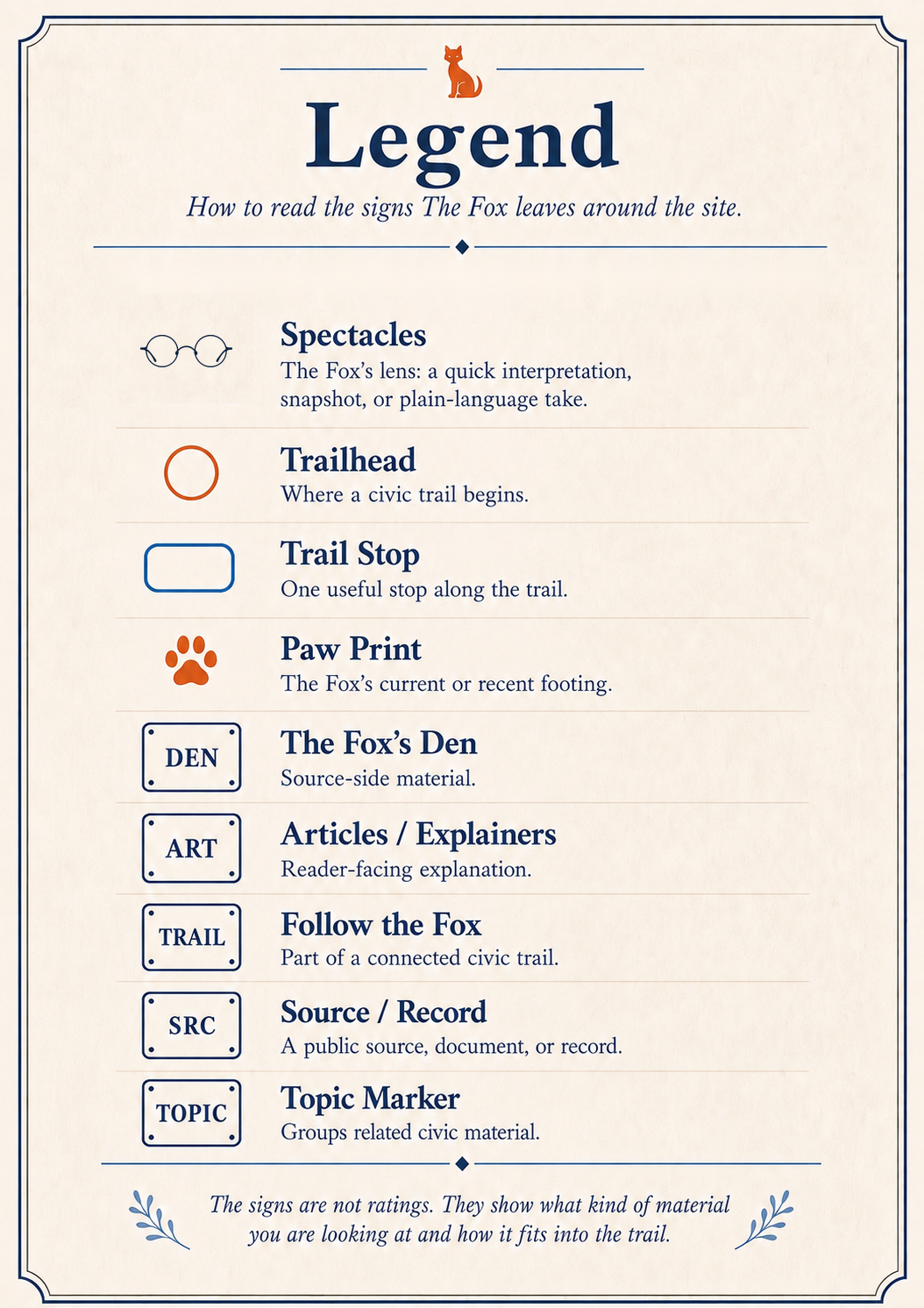
The Field Map is a broad wayfinding view of The Civic Fox. It shows how the main parts of the site fit together: articles, topic markers, source records, formal tracked civic issue trails, and ways to support the work.
Choose a trailhead to see one suggested path through the field, or use the full map to find your own way.
Trailheads
Choose a trailhead.
Each named route highlights a different way readers may move through The Civic Fox depending on what they are trying to understand. These are wayfinding paths through the site, not formal tracked issue trails.
Field Map routes are site wayfinding paths. Formal tracked civic issue trails live in Follow the Fox.
High-level stops
The main public destinations.
The Field Map keeps the stops broad. Deeper article lists, Den entries, and topic pages live inside their own sections.
Map boundary
What this map is — and is not.
This is a light wayfinding layer. It should help readers understand the site without making them study a new interface.
Use it for orientation.
The Field Map shows the shape of the site and highlights true relationships between major sections.
Do not treat it as an archive.
It does not list every article, Den entry, topic page, or formal Follow the Fox trail.
Keep trails distinct.
Field Map routes are site wayfinding paths. Formal tracked civic issue trails live in Follow the Fox.